Let’s say we were born in Needmore Branch Hollow in the community of Rush (currently Needmore Road in Boyd County, KY) in 1775 and lived a long life there until we died in 1861 (86 years). The list below cites all the counties we would have lived in. We would not have moved, but the boundaries of Virginia, Kentucky and these counties certainly would have. So, at some point in our lives we would have lived in Virginia, Kentucky and four different counties in each state.
1776 United States Declares Independence from Great Britain
1776 Kentucky County Virginia
1780 Fayette County Virginia
1786 Bourbon County Virginia
1789 Mason County Virginia
1792 Commonwealth of Kentucky formed
1792 Mason County Kentucky
1804 Greenup County Kentucky
1838 Carter County Kentucky
1860 Boyd County Kentucky
Of course this is just a pretend thing. It is reasonably likely that absolutely nobody was living in Rush in 1775 on a permanent basis, and it certainly was not called Rush in 1775.
This situation would be almost the same for Princess and Straight Creek except neither were ever in Carter County. They went straight from Greenup County to Boyd County in 1860.
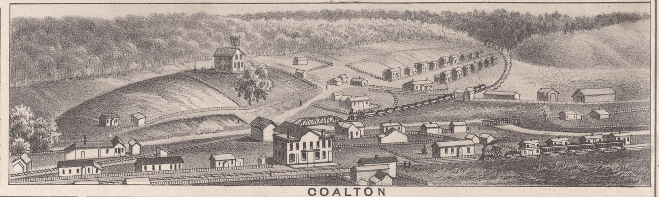
The community of Coalton, KY would have been split. A small part, nearest Rush, would have been just like the list above for Rush. A larger part of Coalton, nearest Princess, would have been just like Princess, where it would never have been part of Carter County and also went straight from Greenup to Boyd County in 1860.
The current communities in Carter County, such as Star, Geigerville, Norton Branch, Grant and Music would be exactly like the list above, but would never have been part of Boyd County.
While still part of Great Britain, and before Kentucky as a whole being considered just one county in Virginia, all of Kentucky, all of West Virginia, and much of current western Virginia was established as Orange County, Virginia in about 1734. Augusta County, Virginia (established 1738) was formed from most of Orange County. Botetourt County, Virginia (established 1770) was formed from Augusta County, Virginia and it still included all of Kentucky, about half of current West Virginia, and a large part of current western Virginia. And finally Fincastle County, Virginia (established 1772) was formed from part of Botetourt County, but still contained all of current Kentucky, about 1/3 of current West Virginia, and more than 10 counties in current western Virginia.
Reference:
DenBoer, Gorden. Atlas of Historical County Boundaries. Kentucky. Edited by John H. Long, 1995.
Next Article – Creeks, Branches, Runs, Forks, Hollows, Heads, and Mouths
Previous Article – Why a Website Devoted to the Williams Creek Basin?