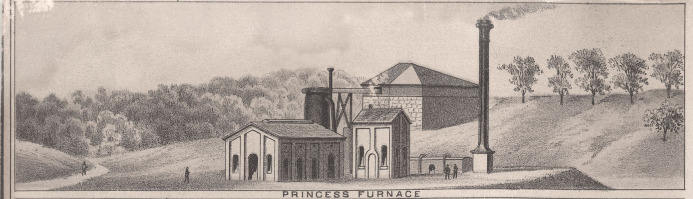
By 1871 the coal mining operations of the Lexington and Big Sandy Railroad – Eastern Division, which had commenced in about 1865 ACI, p23 at Coalton KY, had expanded to the nearby Kilgore area of Rush KY. In 1880 the Lexington and Big Sandy Railroad – Eastern Division was renamed The Ashland Coal and Iron Railway Jackson, KY Encyclopedia, p109. This railroad owned modern iron production facilities in Ashland KY, coal mining operations at Coalton and Rush, huge tracts of land, and a railway to link these assets.
In this era, few of the required mining processes were mechanized, so it was mostly huge amounts of human labor used to mine, process, and ship this coal via rail to Ashland KY. This meant that hundreds of new miners, with their families in tow, moved to Kilgore, and they would need places to live. Below is one image from a lithograph depicting this mining operation. It would eventually be called the #5 Mine. The mining company developed housing to accommodate these miners and their families in a company owned community.
Click on the image for a larger view.

This image is just a portion of a multi-image, poster-like, large lithograph Ashland Lithograph circa 1877 highlighting important facilities in Ashland KY and the surrounding areas like Rush.
Take a close look at the mining facilities that includes a coal tipple, another smaller tipple that is likely for clay, and horses or mules moving a long line of coal laden bank cars. There are also mine associated buildings and railroad accommodations. Also note at image far right center that the rail line dead ends here at Kilgore. This railroad was one way, only going back about 12 miles to Ashland KY. This rail line would eventually link with another rail line called the Elizabethtown, Lexington, and Big Sandy Railroad extending from Lexington KY, but that would not occur until 1881 Patrick, History of Ashland, p46.
And of course there are all those houses for the miners. I see at least 20 two story houses and a couple of much smaller ones in the distance, all for the miners and their families. These facilities are in Boyd County, but just barely. Williams Creek, the dividing line between Boyd and Carter County in this vicinity, would lie just barely beyond the bottom of this image. So this image is sort of looking from Carter County into Boyd County.
This area is currently located 0.1 mile south of the the intersection of US 60 and KY SR 854 in Rush KY.
Below is a photographic image from a postcard. This postcard was originally owned by Ruth Brainard Burton (1915 – 1994) and gifted to her son-in-law, my older brother, George Richard “Hoppy” Coleman Jr (1941 – 2021). After my brother’s death, the image was gifted to me.
This photograph below shows the same basic area as the above lithographic image but from a radically different viewpoint. This photograph was taken from about where those horses or mules are pulling that long train of bank coal cars in the lithographic image above.
Dating for this photograph is likely a couple of decades or more after what is depicted in the lithographic image above. The clay tipple is gone and it seems the coal mining activity has also ceased, as there does not seem to be a lot of the expected inevitable coal dirt and dust omnipresent about the train tracks. Nor is the ground worn from the bustle of human activity, it is mostly just grass and weeds.
The houses seem to still be in use. After the production of coal waned at this mine, other mines in Rush, just south of this location, were opened and operated until about 1930. These later mines in Rush included the #6 Mine, #10 Mine, #11 Mine, and the #12 Mine ACI # Mines. So it is likely that area miners still used these houses, but worked at other mines from the same mining company a bit south of this location.
In this photo below the foreground with the rail tracks and all those nearly identical two story “company” houses near the tracks are in Boyd County. But, all that area beyond those two story houses and on image right center are in Carter County.
Click on the image for a larger view.

The enclave of about 18 to 20 company owned two story houses nearest the railroad was called “Jim Town”. It is very likely, but not assured, that Jim Town was named after the prominent local landowner, James Kilgore Sr (1831 – 1918). James Kilgore had previously owned the area occupied by Jim Town before selling to the mining company. Also note that this general sub community of Rush, part in Boyd County, and part in Carter County, is called Kilgore and is also named after James Kilgore.
The area occupied by these two story houses would have been a terrible choice for housing. They sit on the floodplain of Williams Creek and would have experienced significant and frequent flooding.
Below is a drone image taken on 30 Jan 2023. It is from approximately the same viewpoint as the B&W photo above. The hillside in the B&W image above was barren, so one could photograph Kilgore from that hill. These hills are now totally covered with huge trees, so to get a photo from the same approximate perspective you have to be above these trees.
Click on the image for a larger view.

I had tried over the last few years to get someone local with a drone to accomplish this photo, but without success. So, I decided to purchase a drone and give drone photography a try. I practiced a bit before taking this image. Yes, a 71 year old fool can learn new things.
Notable observations comparing this current drone image and the B&W photo above:
- The area bounded by the road, KY SR 854, and Williams Creek is where Jim Town was located. Note there are no houses. There have never been any houses in that field in my life (b 1951), and perhaps a decade or two before I was born. The mining company houses were likely poorly constructed and built on that flood plane making them ripe for fast deterioration.
- With the exception of possibly one house (not absolutely sure one way or the other), all the other houses in the B&W photo are also gone.
- The railroad going from Ashland KY to Lexington KY is gone, but you can still see where it was located. It is the line just beyond the paved road running down the middle of the image.
- The road in the drone image, going south to other parts of Rush KY, is in a different location than it was in the B&W image. In the drone image this road is just before the railroad. In the B&W image this road is just beyond the railroad and running between the short line of 3 two story houses and the long line of 12 two story houses.
- The area below Williams Creek in the drone image is in Boyd County, above Williams Creek is Carter County.
- At the base of that hill in the distance is US 60. In the B&W image there was also a road at about the same location that in 1866 was called the Catlettsburg – Grayson Turnpike. Star Map
The field where Jim Town was located is at the red teardrop marker in this Google Maps Link (GPS 38.347680, -82.779811).
A big thanks to Linda Newman for all her technical assistance in producing the footnote links to the reference citations.
Enjoy! Lon
Next Article: Graves of Samuel Lusk And His Brother, Marion Whitten Lusk
Previous Article: Seed Brainard’s Grave at Shanty Branch